Know what you're buying before you offer
Independent, pre-offer intelligence on the home you're buying — the evidence to weigh an offer with confidence. Tell Acreright the address (just a postcode to start — no Rightmove or Zoopla link needed) and, where we hold the records, we build one sourced page from public data: price evidence (what the home and its street have sold for, plus an indicative estimate with the maths shown), risks & checks (EPC, flood, planning constraints — conservation area, green belt, Article 4, listed status — radon, coal and landfill), and the local area (deprivation, crime, broadband, council tax and transport). Every figure is dated and labelled with the level it's true at — this address, this street, or the district.
- Recorded sales from HM Land Registry Price Paid, for the address and nearby.
- EPC rating, floor area and the register's suggested improvements with indicative costs.
- Address-level flood & planning constraints, plus the district context around it.
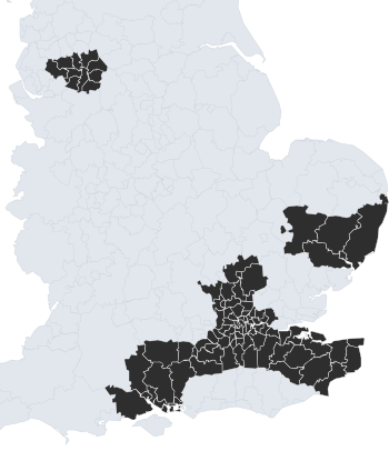
The report leads with what stands out, the price case, the risks worth a question and what to check next. An address-level brief is available where sold-price records are loaded; elsewhere we show area context and point you to the nearest covered area. See how each figure is computed. It's indicative and pre-offer — never a valuation, survey or advice.